


Description
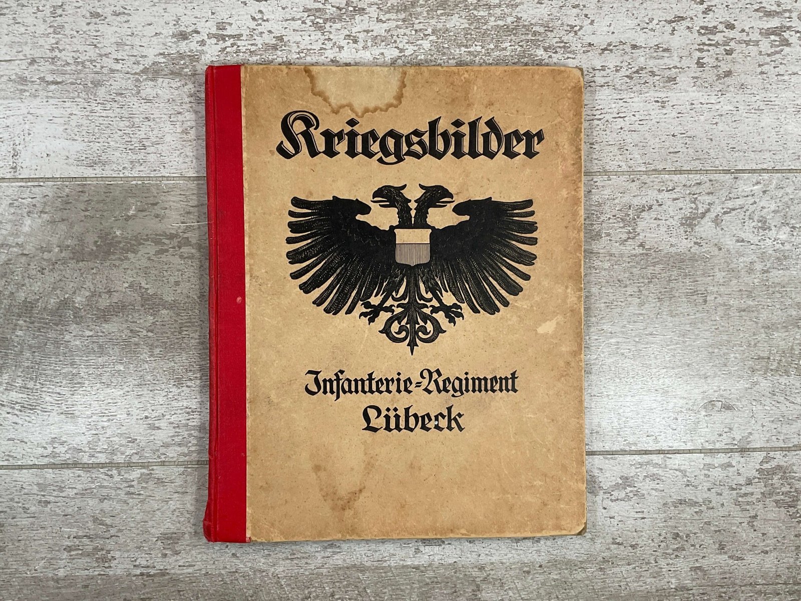
56 pages, 9 ll. (card inserts), illustrated OHLnbd., 28 x 22.5 cm. Contains 335 mostly photographic illustrations and 23 overview maps of positions and battles as a supplement (attack on Meesen: structure of the regiment after the capture of the 1st enemy main resistance line, orders for the attack on Meesen, attack of I.R. 162 on Meesen on April 10, 1918, Right turn of the IR 162 and attack on Wytschaete, position of the regiment after the mass offensive at Cuvilly-Lataule, position at Geluvelt-Polderhoek, position at Houthem, combat zone plan of the divisions of the Lille Group for the attack in April 1918, position at St. Julien in Flanders, approach of the regiment for the 1st and 2nd operations on the Somme, position at the Bois du Vert and at Bis en Artois, position at the La Bassée canal at Auchy, position of the I./162 at the point where the Siegfried position at Riencourt-Bullecourt, position of the regiment at St. Aurin, overview map from Loos to Thelus, position of the 1st and 2nd /162 before Dreslincourt, overview map of Noyon and the surrounding area, funnel roads llung on the Vimy Heights, Kohlen-Halden position near Loos, position near Givenchy and on the Vimy Heights, relief map of northern France, overview map of the German western front: Battles of the Infantry Regiment No. 162, overview map of the German western front: Battles of the 162nd Infantry Regiment. Large map). The views partly show battle scenes, partly the soldiers’ leisure activities (soldiers’ circus, excursions), captured weapons, ruins, the effect of their own guns and enemy guns, latrines, telephone shelters, captive balloons, war painters with field easels (Hans am Ende, Worpswede), prisoners, soldiers when recovering fallen soldiers, bivouacs, mining work, signaling stations, captured guns, a railway gun when firing, etc.). – The cover illustration shows the Lübeck double-headed eagle. – Cover slightly rubbed and stained, slightly stained inside. Otherwise a good copy on good paper.